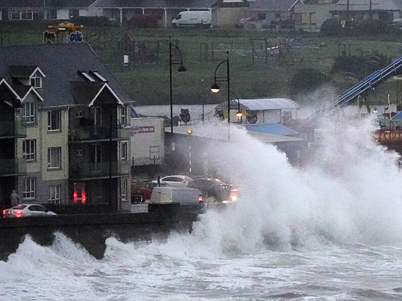
A status red wind warning that is in place for Cork may be extended to Waterford and parts of Wexford.
That's according to Cathal Nolan from The Irish Weather Channel who says the wind-speeds may reach up to 170kmph in parts.
As it pushes inland speeds of 140-150kmph are are expected according to the UCC PhD Fellow.
At present, a status orange wind warning has been extended to all of Munster - including Tipperary and Waterford.
Meanwhile Met Éireann says it won't be safe for people in Cork to go outside tonight, when the status red wind warning comes into effect.
Very severe and destructive winds are forecast for the county between 9pm and midnight.
Munster, Galway and Mayo will be under a status orange wind warning, with the remainder of the island under a yellow wind alert.
Speaking to Beat News Cathal Nolan from The Irish Weather Channel explains how he reckons it will impact the South East.
He said:"Based upon the latest meteorological models we have available to us, it looks as though Storm Ellen will have a really significant impact across many parts of the South East through later on tonight, and into the early hours of tomorrow morning.
"The latest weather models do indicate the status red weather warning that is in place across Cork could possibly extend into Waterford and in parts of Wexford as well.
"Over the course of the next few hours, we'll probably expect that to be issued."
Nolan told Beat News comparing it to Ophelia is not overestimating its impact saying: "You can compare Storm Ellen to Storm Ophelia - they're quite similar storms really.
"Hurricane Ophelia transformed into an extra-tropical cyclone which is what we call the period where it transitions from a hurricane to a more typical Atlantic Storm.
"As it became an Atlantic Storm it did lose some of its power before it impacted Ireland, but we did see winds of about 158kmph in Cork."
Nolan reckons tonight's storm will only increase in strength as it approaches the island of Ireland.
He said: "With this evenings storm the difference is this particular storm is actually only increasing in intensity as it approaches Ireland so it's probably going to hit us at its peak."
"We probably see higher wind-speeds in this evenings and tonight's storm than we would have seen during hurricane Ophelia and considering the damage that was left behind by hurricane Ophelia, it does make us wonder what the impact actually will be from this particular storm."
You can listen to Cathal Nolan from The Irish Weather Channel Speaking to Beat News right here:


