Met Eireann has issued a Status Yellow National Alert for snow & ice tomorrow.
The forecaster warns that scattered snow showers will occur on Thursday night and into Friday, with accumulations of up to 3cm possible.
There will be icy stretches too, with the north and northwest worst affected.
The weather alert is valid from 4pm on Thursday until 4pm on Friday.
Yellow Warning: Snow-Ice warning for Ireland 🌨️❄️ pic.twitter.com/QG6KIYtcdN
— Met Éireann (@MetEireann) December 6, 2017
Meanwhile, a second Status Yellow Weather Warning for Donegal, Galway, Leitrim, Mayo, Sligo, Clare and Kerry for Thursday will be in effect from 3am to 8pm tomorrow.
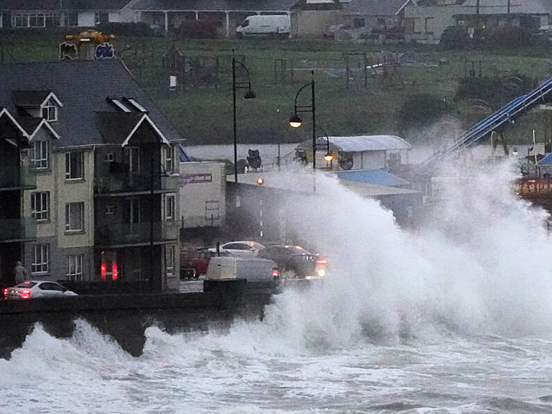
"An Atlantic storm will pass close to the north coast of Scotland on Thursday morning," the warning states.
It'll be wet and windy overnight for all of us with the approach of #StormCaroline, but the strongest winds are expected tomorrow across Scotland #weatheraware pic.twitter.com/kioYKw2A5k
— Met Office (@metoffice) December 6, 2017
"The UK Met Office have named it Storm Caroline. Severe winds will affect parts of Scotland, but it will generate strong and blustery winds over Ireland also.
"Northwest winds of 55 to 65 are expected to gust 100 to 110 km/h - strongest winds in coastal areas and over high ground."
Motorists are being warned to exercise additional caution when driving in the coming days, as Met Éireann has forecast a drop in temperatures with a risk of sleet, hail and snow for the latter half of this week.
Temperatures are expected to drop from Thursday afternoon, with the cold spell persisting into the weekend, resulting in a risk of hail and snow particularly in western and northern areas.
AA Roadwatch, the traffic monitoring service, is also warning motorists to expect delays and allow additional journey time if conditions take a turn for the worst.
“Any sudden change in weather conditions, be it snow, ice or heavy rainfall can have a serious impact on traffic across affected areas. Motorists will need to slow down for their own safety, resulting in longer journey times, but you will also see more cars on the roads in affected areas,” Elaine O’Sullivan, acting editor of AA Roadwatch stated.
“When we see weather conditions worsen we also tend to see people who would normally cycle, walk or use public transport opt to use a car if they have access to one. As a result, traffic levels normally worsen on the major routes in any affected areas.”
Motorists are also being warned that the impact that falling snowfall or sleet can have on visibility may make it more difficult to see vulnerable road users. As a result, additional caution on routes used by cyclists and pedestrians will be needed.


