The mayor of Cork County Frank O’Flynn has called for an investigation into why the weather warning for Cork during Storm Babet was not upgraded to red status.
“It should have been red,” he told Newstalk Breakfast.
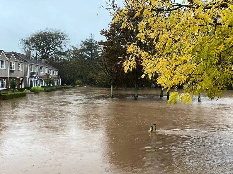
There was a torrential downpour, 94 millimetres of rain fell in 24 hours, he added. Had there been a red status warning schools and businesses would have been more prepared, cars would not have been out on the roads and not as much damage would have been caused.
The rainfall was the heaviest experienced in the area in years... for much of east Cork it was the worst ever, he said. The main road between Cork and Youghal to Dungarvan was closed and that had not happened in many years.
That also raised the issue of the long awaited upgrade of the Castlemartyr and Killeagh road which was a disgrace as it had been promised for 50 years, he said.
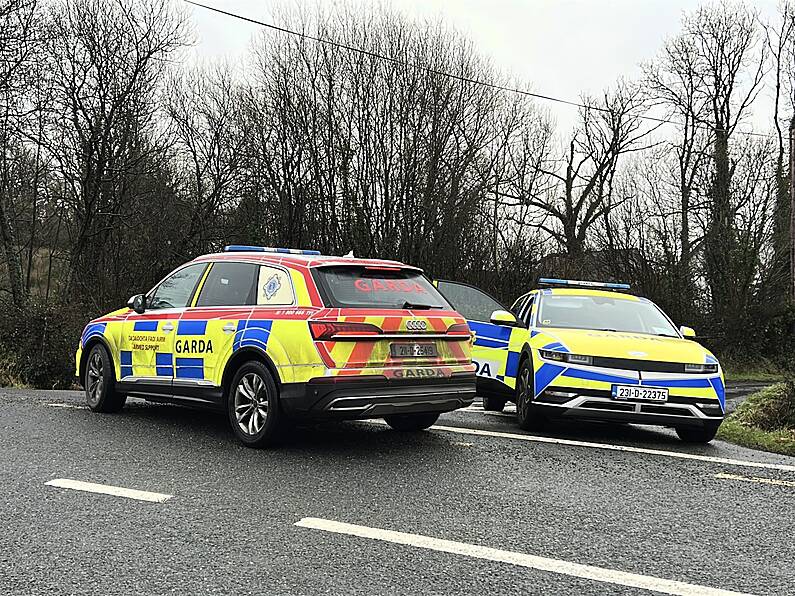
Many homes and businesses were still without power. Cllr O’Flynn said he had urged the council’s chief executive to call out the army and civil defence who had been working for over 24 hours coordinating emergency services, including the gardaí and fire service.
“Our outdoor staff went above and beyond the call of duty, they worked all day yesterday and last night, without them things would have been much worse. Now we have to clean up.”
Cllr O’Flynn pointed out that there had been bad flooding in Midleton in 2015 at which stage a flood alleviation plan was promised, but has not yet been put in place. Similar schemes in Fermoy, Bandon and Mallow had stood the test of time, he said. He was now calling for immediate funding to be made available for flood defences for Midleton.
Senior meteorologist with Met Éireann, Eoin Sherlock has acknowledged that the methods by which they categorise extreme weather situations will have to change because of climate change. Future weather warnings will be about what the weather will do rather than what the weather will be.
Speaking on RTÉ radio’s Morning Ireland, Mr Sherlock explained that the current coloured alert categories were based on the “last round” of climate averages which dates from 1991 to 2020.
⚠️⚠️⚠️ Please avoid travel to Midleton if possible ⚠️⚠️⚠️ pic.twitter.com/IVZfnMhjc6
— Cork County Council (@Corkcoco) October 18, 2023
“What we do every 30 years, we look at the climate every ten years, we look at the climate averages. And what that means is we look at what's happened over the last 30 years.
“So that's 1991 to 2020. And then we do some analysis. The layers of red warning would probably correspond to a one or two per cent, you know, the highest one or two percent of the rainfall amount, an orange warning that would be probably the 95th percentile. So that's what we do.”
Mr Sherlock said that the climate has changed. There was no doubt about that, the evidence was unequivocal. “We've got warmer, you've got this and the temperatures increased by point seven degrees since the last round of climate averages in the last ten years, we can expect more extreme rainfall because the temperature has increased.
“So what we're doing now is we're looking at the kind of the threshold that we have for the warnings, we are going to change them as a reflection of what's happening in the climate.”
Mr Sherlock gave the example that yellow wind warnings of 50 kilometres would change to 55 kilometres per hour. He pointed out Met Éireann had warned about flooding and difficult driving conditions which was a trend in the meteorological world.
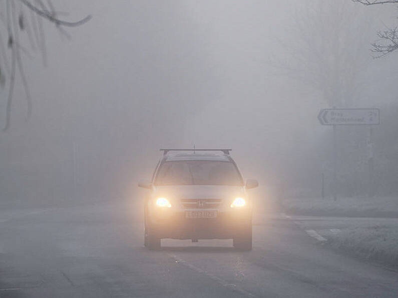
“Basically, it's trying to inform the public about what the weather will do rather than because maybe people don't understand what an 80 kilometers per hour wind can do. But if we can inform people that there's going to be flooding, they can take the necessary steps.
“Just a quick recap. Orange - it's quite dangerous. You know, there's only one or two millimeters difference between an orange rainfall warning and a red. So I think maybe as an education piece for Met Éireann ourselves, we have to a little bit better in this area."
Mr Sherlock said they currently issued warnings based on best guidance from two models, one Irish, the other European using international collaborations.
“So on Monday we issued an orange warning for parts of the south based on the guidance. And as the days progressed, we did modify the warnings adding additional counties. The model guidance was suggesting that it would be orange. So when we look at the figures that were found on the ground in that particular period of time, I think we had one or two stations that crept into red territory and other parts of Cork where in orange level territory in terms of amount of rainfall, some parts of Cork were below or even just creeping into yellow.
“The way we do it is we look at is it going to be a widespread event? Will it affect the whole of County Cork and the guidance that we've got and we'll be watching this unfold? The observations were tallying with that because I think maybe in two stations we crept over 18 and that would be the limit and the upper threshold for an orange warning. So we work on widespread events and very localised events.
"Storm warnings were issued to help the public know what to expect, he said. “So if we issue an orange warning for wind or for rain, it really is kind of like, I better check out my surroundings. I better think hard about what's going to come. Now, unfortunately, what happened, it just happened in such a short period of time. The rain came down the side of the mouth of the valleys, and that's what we got.”
By Vivienne Clarke
Keep up to date with all the latest news on our website Beat102103.com.


