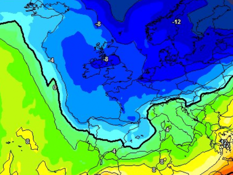
The glorious spring weather we've been enjoying over the last week is set to end in dramatic fashion tomorrow.
Highs of 19 degrees Celsius will make way for lows of minus 3 degrees as a cold polar air mass sweeps down across the South East.
In a warning to gardeners, widespread frosts are expected, with nighttime temperatures dipping well below freezing.
Thankfully, any possibility of widespread snow is low, with some light falls possible only on higher ground.
Taking to Twitter, Carlow Weather's Alan O'Reilly said: "While it will turn cold from Wednesday the latest snow depth charts only really show snow for the Wicklow Mountains here in Ireland."
While it will turn cold from Wednesday the latest snow depth charts only really show snow for the Wicklow Mountains here in Ireland. Very little rainfall expected up to Sunday then a risk of a band of rain on Sunday but track is uncertain. pic.twitter.com/XX6wTA4seN
— Carlow Weather (@CarlowWeather) March 28, 2022
There will be showers at times too but Met Éireann says there will still be a good deal of dry weather until Sunday when a band of rain is expected track across Ireland - but it is unknown if the South East will be affected.
The cold spell is set to be shortlived, however, with milder - and wetter - weather forecasted from early next week.
Image: Meteociel.fr


